
For the first time a monumental State of the Heritage report has been produced for the Mendip Hills National Landscape. The report shows that the Mendip Hills is of international importance for its archaeology and provides evidence of over half a million years of occupation, settlement and land use: the landscape shapes the people and the people shape the landscape.
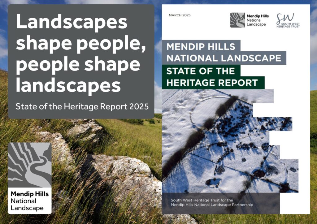
The National Landscape offers a rich heritage of landscapes with evidence of over 500,000 years of human activity, from the Lower Palaeolithic to the Modern period. The geology and natural features which have often been the focus for this activity, have given rise to a complex of agricultural, industrial, ritual and settlement activity.
The State of Heritage report looks at the nine key periods from the Palaeolithic to the Modern, reviewing all the finds, summarising their condition, fieldwork and other investigations that have taken place and finishing with a broad list of recommendations. There are over 4,800 sites identified on the Historic Environment Records for the National Landscape. Of these only 8% are covered by statutory heritage designations, like Scheduled Monuments. There are 173 Scheduled Monuments making it the second densest protected landscape in the south-west for Scheduled Monuments.
Caves, particularly in Cheddar Gorge and around Wookey Hole, provide some of the best evidence in Britain for early human activity with connections across Europe. Much later in the prehistoric period, important ceremonial sites, such as the Priddy Circles with their parallels to Stonehenge, were constructed and recent research has shown that other sites exist though much less visible after thousands of years of ploughing.
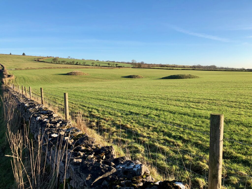
In the Bronze Age the landscape is dominated by round barrows, singly and in rows, at a greater density than in surrounding areas. Modern reinvestigations have also shown unusual evidence of extreme violence and cannibalism in the Early Bronze Age at Charterhouse Warren Swallet, where some of the earliest evidence for plague in Britain also was found. In the Late Iron Age, the lead mining industry starts which will dominate the area for the next 2000 years. The Romans were attracted to Britain, in part, by the prospect of mineral exploitation. In the medieval period farms were established across the hills and their remains can still be seen as earthworks today. Mining continued into the 19th century but then the area reverted to farming as the main industry, with occasional activities by the military. Each of these periods of activity have let their marks on the Mendip landscape.
Bob Croft, from the South West Heritage Trust who produced the report said, ‘This review has demonstrated that the present-day natural landscape that we experience is the result of over 500,000 years of human activity. Our knowledge of the original ‘natural’ landscape and how it has been altered over time is therefore contained within the archaeological record. Archaeology is not only the archive of the human life, but also the natural world. It is not just the vast numbers of archaeological sites that represent and characterise the heritage of the National Landscape, but the threads of continuity between them that shape this area.’
Jim Hardcastle, from the National Landscape Team, concluded, ‘The area contains evidence of human activity which is of both regional and national significance, and in some cases European importance. But the threats to these sites, particularly the undesignated sites, remains a significant concern. They are vulnerable to the effects of agricultural practices like ploughing, scrub/tree growth, visitor erosion and recreational activities, permitted development, and from the effects of climate change. Monitoring and protection should be highlighted as a priority. This needs to run alongside making people aware of the incredible heritage value of Mendip and involving people in its protection.’
The State of the Heritage Report is available to download here Mendip Hills State of the Heritage Report 2025 (13mb)