

Download this map and guide to discover the wildlife and heritage at this National Nature Reserve on the southern slopes of the National Landscape.

You are welcome to download and print our Visitor Guide or Contact us for a copy and we’ll be happy to put one in the post.

Please download your copy of the Chew Valley Visitor Guide here – it is no longer available in print.

The Mendip Hills National Landscape is a great place for dogs and their owners. But please remember that you
and your dog share the outdoors with others. You have the right to explore the footpaths and bridleways as well as areas of ‘Access Land’ providing that you act responsibly and keep your dog under control at all times.
This handy leaflet will ensure you and your dog have a great visit to the Mendip Hills National Landscape.

Black Down trig point is the highest point on Mendip offering terrific views across to Wales. Significant wildlife and archaeology and excellent for walking, cycling and horse riding.
Burrington Combe and Ham to the North are designated a Site of Special Scientific Interest for their wildlife habitats.

The internationally famous Cheddar Gorge boasting the highest inland limestone cliffs, dramatic caves and cliff top walk.
To find out more, click here.

A chance to slow down and relax around Chew Valley Lake with cafe, tearoom and nature trails. The Grebe nature trail is suitable for pedestrians, pushchairs and wheelchairs.
To find out more, click here.

A distinctive peak of open grassland with areas of gorse and scrub. The Mendip Way passes over the peak (OS Explorer Maps 141 and 153). There is a car park with picnic tables on Webbington Road.

The village green is at the centre of the ancient settlement of Priddy. The Hurdle stack on the green is a symbol of the ancient wool trade and Priddy sheep fair.

An ancient woodland with ground flora, access to Wavering Down and Crook Peak and is on the route of Mendip Way adjacent to the Strawberry Line.

Nature has reclaimed this former lead mining site and is an amazing area for wildlife watchers. Walks up to North Hill and Priddy Nine Barrows can start here.
Sitting next to the Mineries is Stockhill Forest offering easy-going trails.

An open access site with fantastic views over the Somerset Levels. Excellent for walks, picnics, flying kites. There is a car park with picnic tables.

An evergreen forest offering easy-going trails and superb views across the Chew Valley leading to Smitham Chimney, the last remaining lead smelting chimney on Mendip.
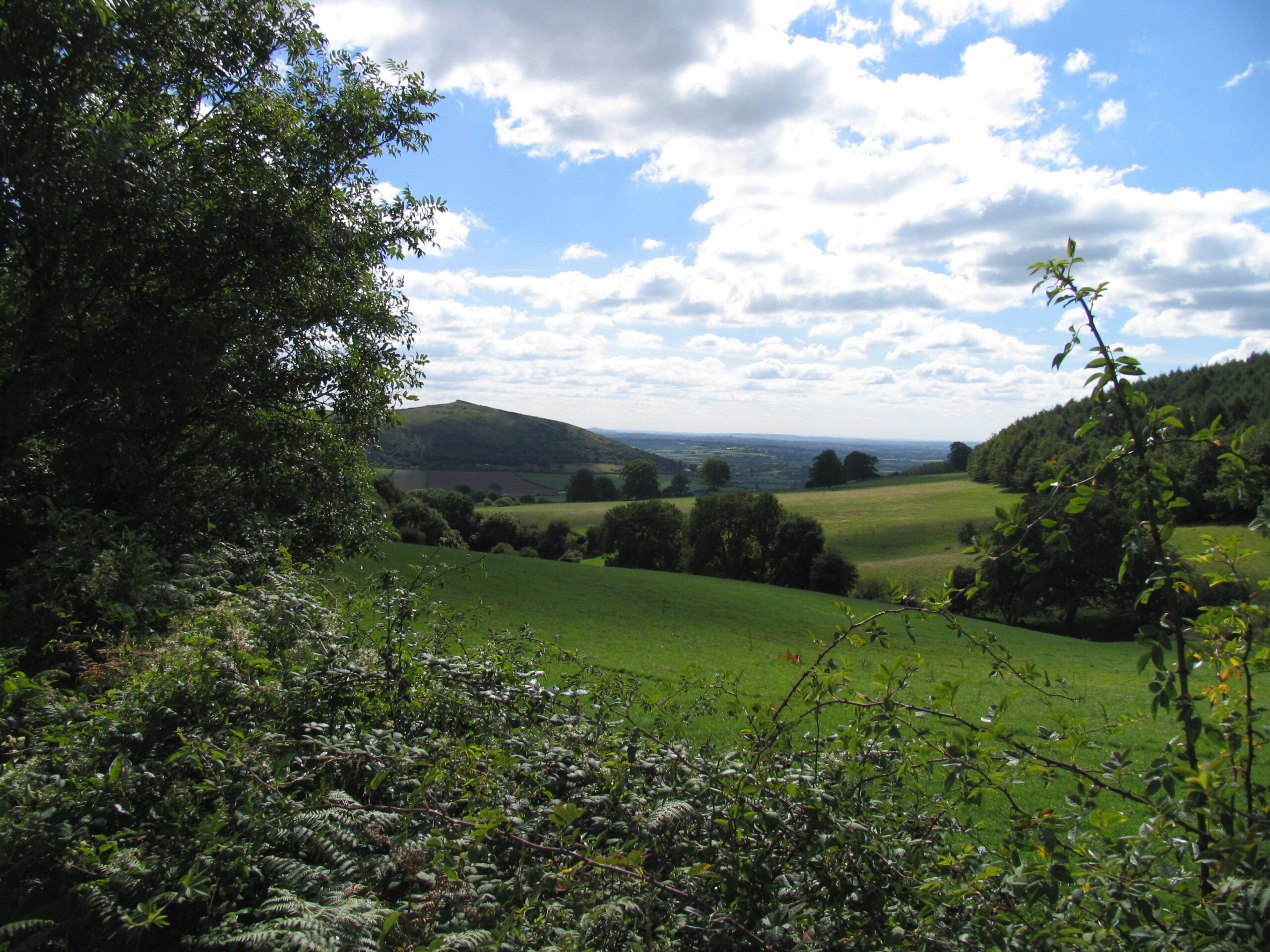
The highest point of the Western end of the Mendip Hills offering 360 degree stunning views.

A dry limestone gorge and is a designated National Nature Reserve.
To find out more, click here.

A visitor attraction that takes in the 50,000 year History of the caves.
Click here for more information.
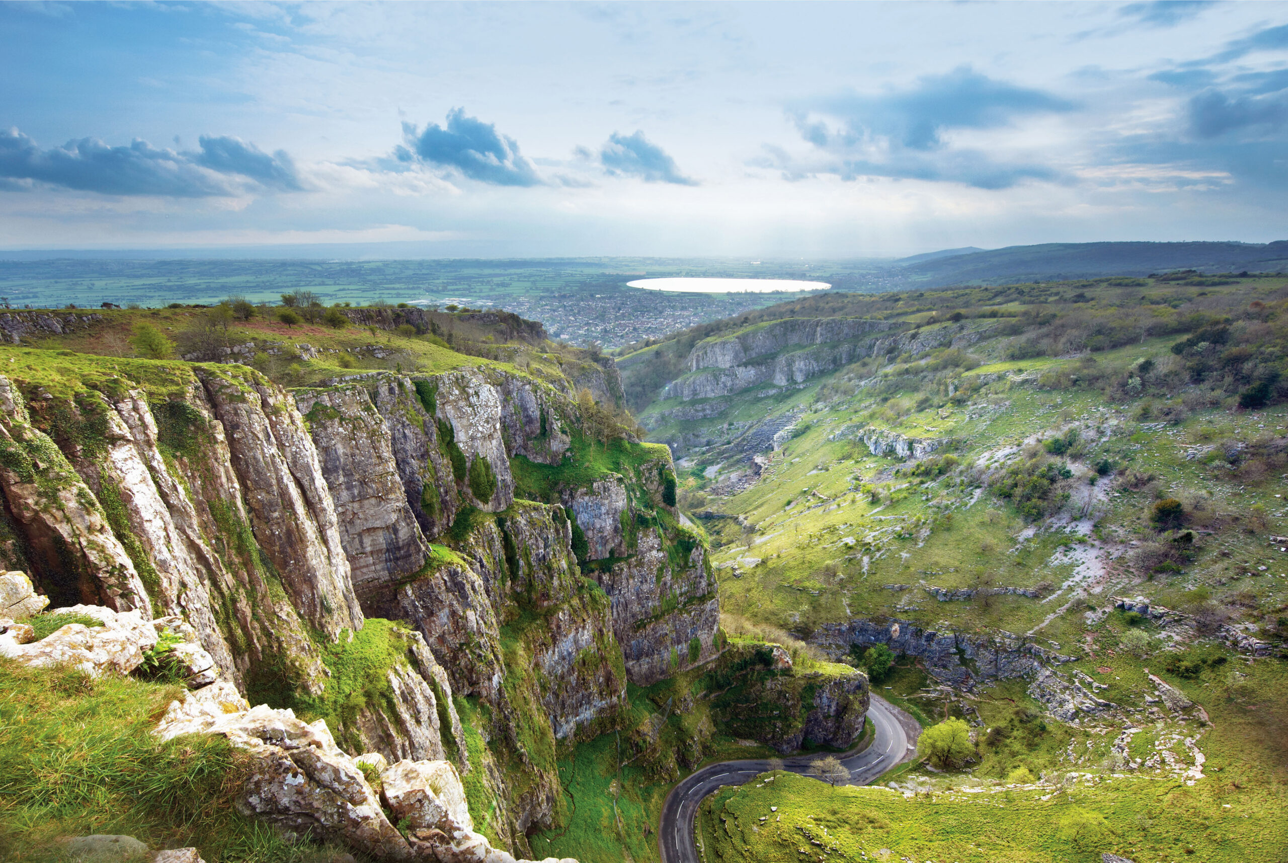
You can enjoy the awe-inspiring cliffs to the subterranean stalactite show caves at this visitor attraction. It is also an international centre for caving and rock climbing.
Click here for more information.
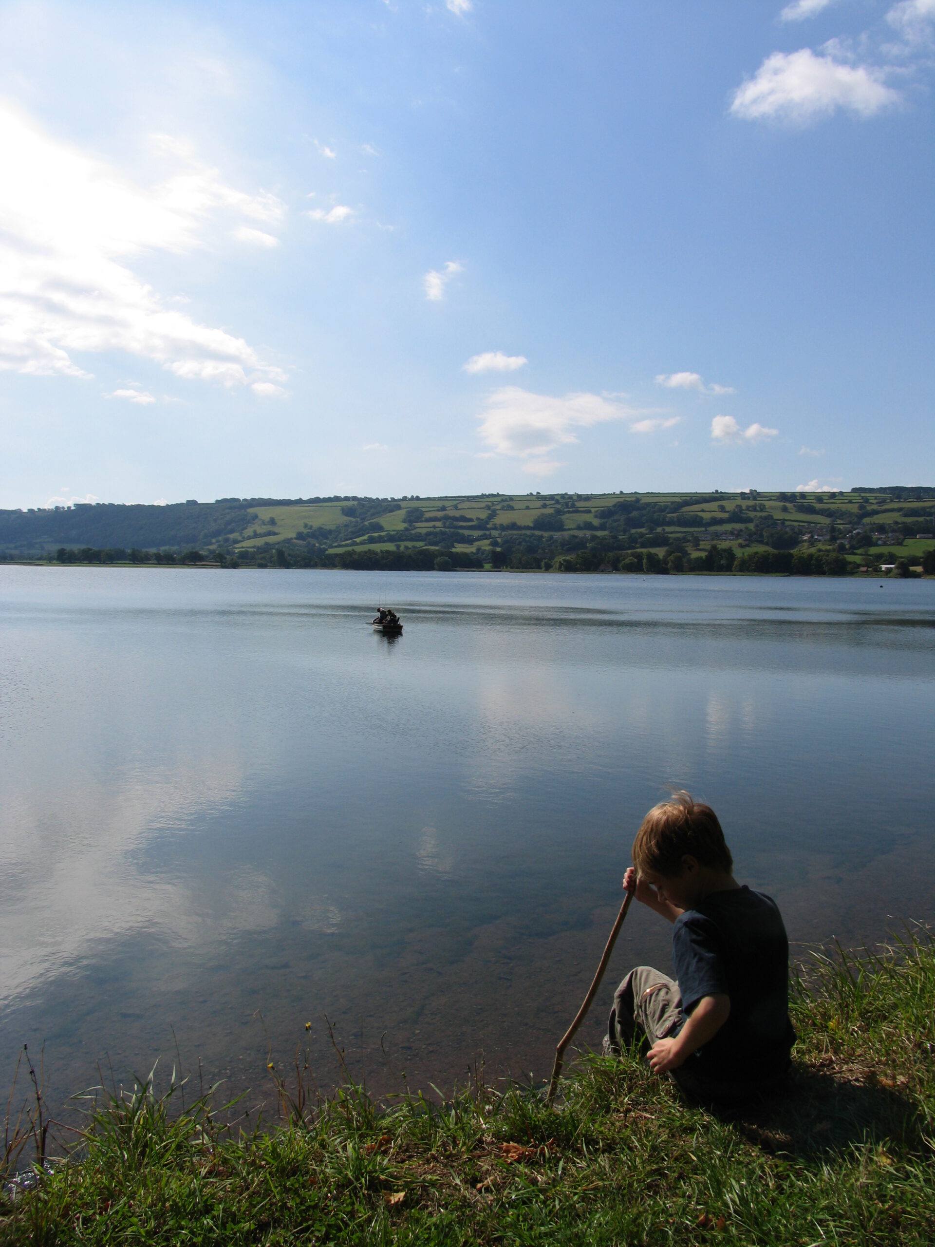
The lake covers 440 acres and is classified as a SSSI by Natural England for the wildflower meadows and bird populations. The long, narrow shape makes it ideal for both boat and bank fishing.
Click here for more information.

An iron age hillfort of great interest for its grassland, limestone heath vegetation and ancient field systems
Please check as details may change
This was a three year project (2013-2016) funded by the Heritage Lottery Fund. The project was designed to raise awareness of the wildlife and archaeological value of the Black Down and Burrington Commons through activities, events and training.
In recent years erosion and damage to specific features and the site in general has occurred through a combination of recreational use, sensitive site conditions and weather.
The legacy of Discovering Black Down will be to ensure local community and user group volunteers continue to play an active role in the care and conservation of this area’s heritage.
The project has now come to a close but the website Discovering Black Down will remain available.
Download the Discovering Black Down app for maps, memories and lots more
The Greentraveller online guide to the Mendip Hills National Landscape was launched in 2013 and the Facebook campaign is now running. Greentraveller has already produced guides for a number of National Landscapes and National Parks that list where to stay, visitor attractions, eating out and activities. This work was a part funded by a Sustainable Development Fund grant.

We hope you enjoy your visit to the Mendip Hills. Please contribute to their conservation and enhancement; your donations support local community and voluntary groups in the area.
You can make a donation online through our Just Giving page here. For more information you can also visit the Mendip Hills Fund page.